











































The Ghana Geological Survey Authority (GGSA) has introduced seven new regulatory instruments to strengthen oversight of geological activities and promote accountability in the country’s geoscience sector.
The seven Legislative Instruments (L.I.s), which came into force on August 26, 2026, following the completion of the mandatory 21 parliamentary sitting days, operationalise the Ghana Geological Survey Authority Act, 2016 (Act 928).
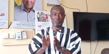
According to the Ghanaian Times newspaper monitored by Angelonline on Wednesday November 18, Director-General of the Authority, Dr Prosper Ashah Akaba, announced this at the Ministry of Lands and Natural Resources’ Progress Series, where he highlighted the institution’s achievements and ongoing initiatives.
He identified the enforcement of the seven instruments as a significant step towards improving standards and bringing geological operations under a more structured regulatory framework.
The instruments cover geological mapping, seismic investigations and earthquake monitoring, access to geological information, ground investigations, geoscientific practice, protection of geological heritage sites and mineral exploration up to the pre-feasibility stage.
Dr Akaba said the regulations would ensure that geological activities were conducted within clearly defined standards, while protecting the integrity of scientific data used to guide national development, investment and planning decisions.
He noted that the framework would also strengthen the Authority’s ability to generate revenue from its regulatory functions.
Mining and exploration companies, local government authorities, research institutions, real estate developers and geoscience professionals have consequently been urged to familiarise themselves with the new provisions and adhere to the requirements.
In a related development, the Authority has completed the modernisation of Ghana’s National Seismological Network to improve the country’s capacity to detect and monitor earthquake activities.
The upgraded network was commissioned in June 2026 by the Minister for Lands and Natural Resources, Emmanuel Armah-Kofi Buah, with improvements including real-time transmission of seismic data and enhanced monitoring systems for dam safety.
The intervention is expected to address longstanding challenges associated with the deterioration of the country’s earthquake monitoring infrastructure.
The GGSA has also conducted a seismic hazard assessment covering the Ga South, Ga West and Ga North municipalities to generate scientific information for development and land-use planning in areas exposed to seismic risks.
Dr Akaba emphasised that timely access to credible geological information remained essential to protecting lives, property and critical national infrastructure.
The Authority has further completed 48 district mineral occurrence maps to guide investors and local authorities on the distribution and potential occurrence of mineral resources across the country.
However, it clarified that the maps only indicate areas with possible mineral occurrences and should not be regarded as evidence of established mineral reserves.
On institutional development, the GGSA is implementing a seven-year strategic plan, supported by a revised organisational structure and the preparation of key policy documents to improve its operations.
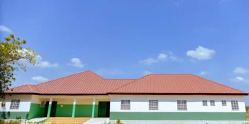
It has also made progress in expanding its regional infrastructure, completing renovation works at its Bono Regional Office in Sunyani, while construction of its Eastern Regional Office in Koforidua is approximately 70 per cent complete.
Additionally, a US$250,000 contribution from Seequent is supporting staff training and capacity development in geological modelling and data management.
Dr Akaba said the Authority would sustain its efforts in mineral exploration, earthquake monitoring and geohazard mapping, among other geological activities, as part of measures to promote responsible mining and support national development.
He said the GGSA would also deepen its engagement with small-scale miners, investors, District Assemblies and other stakeholders to ensure that reliable geological information guides mining activities and development decisions.
Source: Abigail Ekua Arhin